

Mandatory Evacuations Ordered Along Big Thompson River
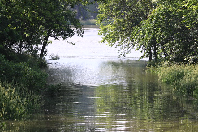
Due to rain fall accumulations of one inch per hour plus additional water being released from the Olympus Dam, mandatory evacuations are now in place for residents living along the Big Thompson River Corridor. Residents in other low-lying areas are encouraged to voluntarily evacuate.
A projection of 7,000 cubic feet per second of water is anticipated and water levels are expected to continue to rise throughout the afternoon. A Red Cross shelter is open at the Thompson School District building at 800 S. Taft Ave. in Loveland.
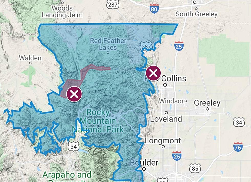
More information and a map detailing the exact evacuation zone will be posted after GIS mapping is complete. The map will be posted on the City website. The evacuation zone area is defined by the Federal Emergency Management Agency’s (FEMA) One-hundred year flood zone. More information on the Loveland floodplains is available here.
The intersection of Taft Avenue and First Street is now closed. As water levels rise the following streets and areas are either currently or will soon be affected and potentially impassable:
- First Street at Big Thompson River
- Burlington-Northern Santa Fe railroad tracks and Railroad Ave.
- Overtopping is expected at Barnes Park
- St. Louis Avenue
- Lincoln Avenue (Hwy 287)
More From K99


![Park Destroyed by 2013 Flood to Reopen in Evans [PICTURES -VIDEO]](http://townsquare.media/site/48/files/2018/10/RiversidePark-Flyover1.jpg?w=980&q=75)
![Todd’s Parking Lot Floods and His Wife Comes to the Rescue [VIDEO – PICTURES]](http://townsquare.media/site/48/files/2017/08/IMG_2610.jpg?w=980&q=75)