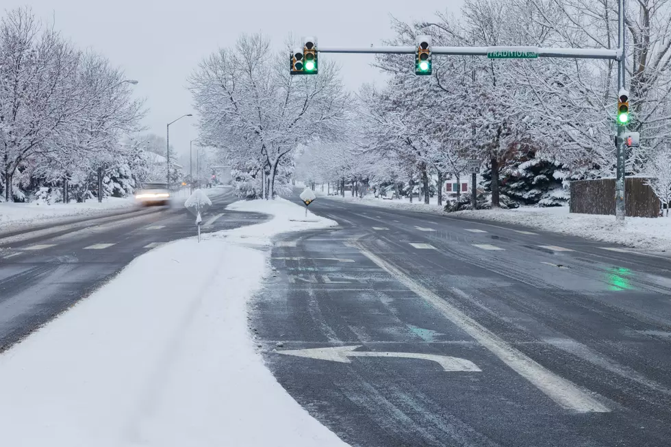
![Northern Colorado Weather Forecast Predicts Decreasing Rain [UPDATED Sept 16 5:30 AM]](http://townsquare.media/site/49/files/2013/09/Clouds_and_Trees_AbleStockDOTcom-630x419.png?w=980&q=75)
Northern Colorado Weather Forecast Predicts Decreasing Rain [UPDATED Sept 16 5:30 AM]
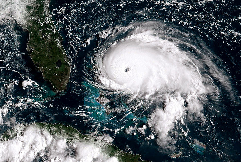
Experts are starting to say the worst of the flooding is behind us, but there are still flood warnings and rain showers in the forecast for the start of the week. Get the most up-to-date weather details here.
UPDATE 5:30 AM MONDAY:
...THE FLOOD WARNING CONTINUES FOR THE FOLLOWING RIVERS IN COLORADO...
CACHE LA POUDRE RIVER NEAR GREELEY AFFECTING WELD COUNTY. NORTH FORK BIG THOMPSON RIVER AT DRAKE AFFECTING LARIMER COUNTY. SOUTH PLATTE RIVER NEAR KERSEY AFFECTING WELD COUNTY. SOUTH PLATTE RIVER NEAR BALZAC AFFECTING LOGAN...MORGAN AND WASHINGTON COUNTIES. SOUTH PLATTE RIVER NEAR JULESBURG AFFECTING SEDGWICK COUNTY.
A Flash Flood Watch is in effect from noon to 7pm today (Monday, Sept. 16th).
A chance of drizzle is in the forecast before 9am today, then a slight chance of showers and thunderstorms after noon. Patchy fog before 9am. Otherwise, mostly cloudy, with a high near 73. Southeast wind 5 to 7 mph. Chance of precipitation is 20%.
UPDATE 2:44 SUNDAY:
The flood warning for Cache La Poudre, South Platte and Big Thompson rivers has been extended until TUESDAY morning.
Showers likely and possibly a thunderstorm this afternoon. Cloudy, with a high near 60. Chance of precipitation is 70%. Tonight: A chance of showers and thunderstorms. Cloudy, with a low around 51. Chance of precipitation is 50%.
UPDATE 2:40PM SUNDAY:
...THE FLOOD WARNING CONTINUES FOR THE FOLLOWING RIVERS IN COLORADO...NORTH FORK BIG THOMPSON RIVER AT DRAKE AFFECTING LARIMER COUNTY. CACHE LA POUDRE RIVER NEAR GREELEY AFFECTING WELD COUNTY. SOUTH PLATTE RIVER NEAR BALZAC AFFECTING LOGAN...MORGAN AND WASHINGTON COUNTIES. FLOODING AND FLASH FLOODING WAS BEING REPORTED ACROSS THE FOOTHILLS AND ADJACENT PLAINS TODAY DUE TO HEAVY RAIN. ALL THIS RAIN WILL LIKELY INCREASE THE FLOODING ALONG THE CACHE LA POUDRE RIVER IN WEST CENTRAL WELD COUNTY AND THE SOUTH PLATTE RIVER FROM ITS CONFLUENCE WITH THE CACHE LA POUDRE RIVER EASTWARD. THE FLOOD WARNING CONTINUES FOR THE NORTH FORK BIG THOMPSON RIVER AT DRAKE.
* UNTIL TUESDAY MORNING...OR UNTIL THE STREAM FALLS BELOW FLOODSTAGE.
****
A FLASH FLOOD WARNING
extreme southwestern Weld County in northeast Colorado...
northwestern Adams County in northeast Colorado...
Broomfield County in northeast Colorado...
southeastern Boulder County in northeast Colorado...
* until 345 PM MDT
* at 1146 am MDT... Doppler radar and automated rain gauges indicated
heavy rain falling over Broomfield. One and a quarter inches of
rain has fallen since 10 am. Flash flooding is expected to begin
in the big Dry Creek and Rock Creek basins shortly.
* Some locations that will experience flooding include...
northern Thornton... northeastern Westminster... Broomfield...
Brighton... Lafayette... Louisville... Erie and Dacono.
Additional rainfall amounts of one to one-and-a-half inches are
possible in the warned area through 1 PM.
Precautionary/preparedness actions...
If you are near big Dry Creek through Broomfield or Rock Creek
through Superior and lafayett... move to higher ground now. Act
quickly to protect your life.
Excessive runoff from heavy rainfall will cause flooding of small
creeks and streams... urban areas... highways... streets and underpasses
as well as other drainage areas and low lying spots.
The National Weather Service in Denver has issued a
* Flood Warning for...
western Arapahoe County in northeast Colorado...
Weld County in northeast Colorado...
northwestern Washington County in northeast Colorado...
northern Sedgwick County in northeast Colorado...
Jefferson County in northeast Colorado...
eastern Larimer County in north central Colorado...
extreme southeastern Clear Creek County in central Colorado...
Broomfield County in northeast Colorado...
northeastern Douglas County in northeast Colorado...
Adams County in northeast Colorado...
eastern Gilpin County in central Colorado...
Denver County in northeast Colorado...
Logan County in northeast Colorado...
Boulder County in northeast Colorado...
Morgan County in northeast Colorado...
* until 900 PM MDT Sunday
* at 900 am MDT... Doppler radar and automated rain gauges indicated
that up to 0.30 inch of rain was falling in 30 minutes in areas
due to showers. Showers will continue to move across the Front
Range and northeast Colorado plains today. This may cause renewed
flooding in areas where the water has receded and exasperate the
flooding in areas where flooding continues.
* The South Platte river from central Weld County through Morgan
County has record flooding with water levels along this stretch of
the South Platte river even higher than during the June 1965
flood. Water levels on the South Platte river downstream in Logan
County are rising rapidly. Stream levels remain near bankfull on
the Cache la poudre river in southeast Larimer County and above
flood stage farther downstream in west central Weld County.
* Some locations that will experience flooding include...
Denver... Fort Collins... Greeley... Sterling... Fort Morgan...
Julesburg... Aurora... Lakewood... Thornton... Arvada... Westminster...
Centennial... Boulder... Longmont... Loveland... Broomfield... Highlands
Ranch... Commerce City... northwestern Parker... Littleton...
Northglenn... Brighton... Englewood... Wheat Ridge... Lafayette...
Golden... Windsor... Evans... Louisville and Erie.
Precautionary/preparedness actions...
A Flood Warning means that flooding is imminent or has been reported.
Stream rises will be slow and flash flooding is not expected.
However... all interested parties should take necessary precautions
immediately.
A Flash Flood Watch also continues until 6pm tonight:
------------------
Updated 4:45AM SUNDAY:
The flash flood watch continues across much of the front range through tonight at 6PM..
Cloudy with periods of rain possible throughout the day. Afternoon highs from 61 to 66 degrees. Showers slowly ending overnight with lows from 51 to 55 degrees.
Latest Watches & Warnings
UPDATE - 12:05 SUNDAY
THE NATIONAL WEATHER SERVICE HAS ISSUED A FLASH FLOOD WARNING FOR THE FOLLOWING COUNTIES/AREAS: Adams; Boulder;
Broomfield; Southwest Weld, CO until 3:50PM.
UPDATE - 11:04PM SATURDAY
Flash Flood Watch Continues: POTENTIAL FOR FLASH FLOODING IN THE MOUNTAINS...FRONT RANGE FOOTHILLS...PALMER DIVIDE...AND ADJACENT PLAINS WILL CONTINUE THROUGH SUNDAY AFTERNOON...
LIGHT RAINFALL IS EXPECTED TO DEVELOP OVERNIGHT WITH ADDITIONAL RAINFALL AMOUNTS UP TO ONE-HALF INCH POSSIBLE BETWEEN MIDNIGHT AND 6 AM IN SOME LOCATIONS. FOR SUNDAY THERE WILL BE PERIODS OF RAIN ALONG WITH A FEW THUNDERSTORMS IN THE MOUNTAINS AND IN AND NEAR THE FOOTHILLS. ADDITIONAL RAINFALL AMOUNTS OF 1 TO 2 INCHES COULD OCCUR IN SOME LOCATIONS BY LATE SUNDAY AFTERNOON.
THUS IF THIS ADDITIONAL HEAVY RAINFALL OCCURS THEN THERE WILL BE MORE FLASH FLOODING AS THE GROUND IS EXTREMELY SATURATED.
UPDATE - 5:00 PM
FLOOD WARNING CONTINUES...THE FLOOD WARNING CONTINUES FOR THE FOLLOWING RIVERS IN COLORADO. NORTH FORK BIG THOMPSON RIVER AT DRAKE AFFECTING LARIMER COUNTY. SOUTH PLATTE RIVER NEAR KERSEY AFFECTING WELD COUNTY. THE FLOOD WARNING CONTINUES FOR THE FOLLOWING RIVERS IN COLORADO BIG THOMPSON RIVER NEAR LOVELAND AFFECTING LARIMER COUNTY.
Check this page often for the most updated info!
More From K99