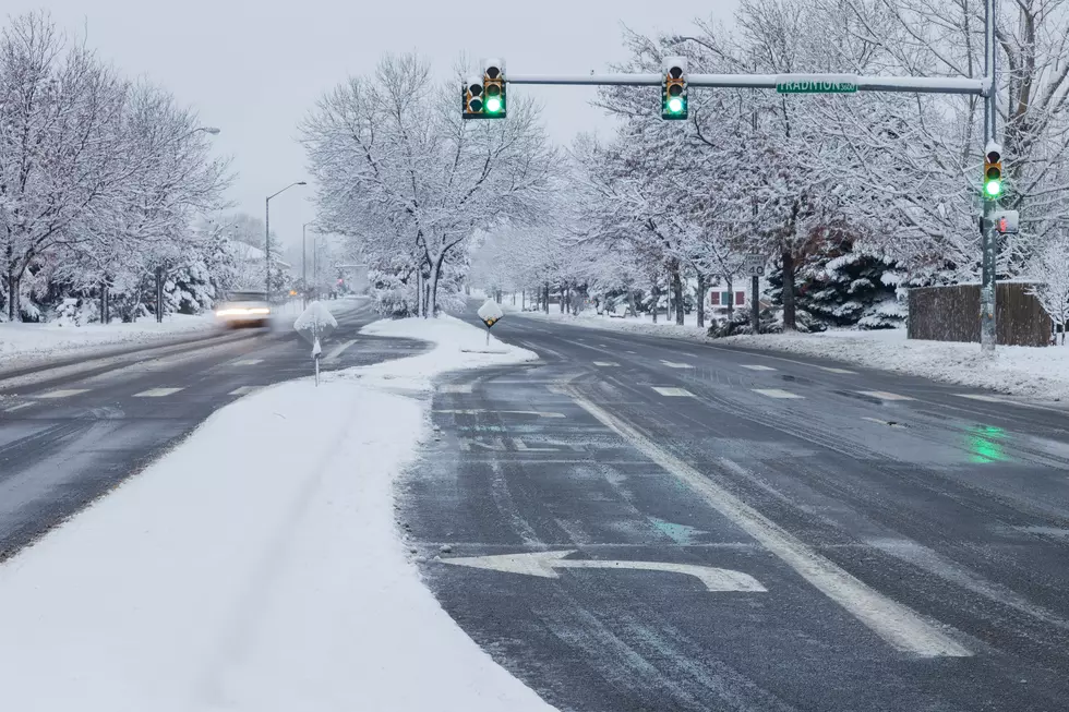
How Much Snow Will the Fort Collins Area Get? (Hazardous Weather Outlook In Effect)
A winter storm is-a-brewin', we had highs in the 70's yesterday and a chance of snow tonight here in Fort Collins. Right now our forecast is calling for a 60% chance of precipitation tonight (although, it is already raining), 40% on Thursday and 20% on Friday. (We currently have a hazardous weather outlook, according to the National Weather Service, info on that can be found below.)
How much, if any, of those glorious white flakes are we going to actually see? (I feel sorry for any meteorologist charged with predicting our Colorado weather patterns.)
I wonder if this storm will end up being 'named?'
From the NWS (at 5pm Wed Oct, 24th, 2012):
THIS HAZARDOUS WEATHER OUTLOOK IS FOR NORTHEAST AND NORTH CENTRAL COLORADO
TODAY AND TONIGHT SNOW WILL BEGIN TO INCREASE IN COVERAGE ACROSS THE NORTHERN MOUNTAINS EARLY THIS AFTERNOON...THEN SPREAD FURTHER SOUTH AND EAST IN COVERAGE AND INTENSITY THIS EVENING. SNOW ACCUMULATIONS WILL RANGE FROM 2 TO 6 INCHES...WITH THE HEAVIEST AMOUNTS IN THE MOUNTAINS AND FOOTHILLS NORTH OF INTERSTATE 70. FOR THE PLAINS...TEMPERATURES TODAY WILL BE MUCH COOLER FROM DENVER NORTHWARD WITH HIGHS GENERALLY IN THE 50S. A CHANCE OF RAIN SHOWERS WILL DEVELOP ACROSS THE LOWER ELEVATIONS LATE THIS AFTERNOON...WITH A MIX OF RAIN AND SNOW THIS EVENING AFTER 8 OR 9 PM...TURNING COMPLETELY OVER THE SNOW AFTER MIDNIGHT. ACCUMULATIONS BY THURSDAY MORNING AROUND DENVER WILL BE AROUND ONE INCH OR LESS...WITH 1 TO 3 INCHES POSSIBLE MAINLY NORTH OF THE INTERSTATE 76 CORRIDOR.
More From K99