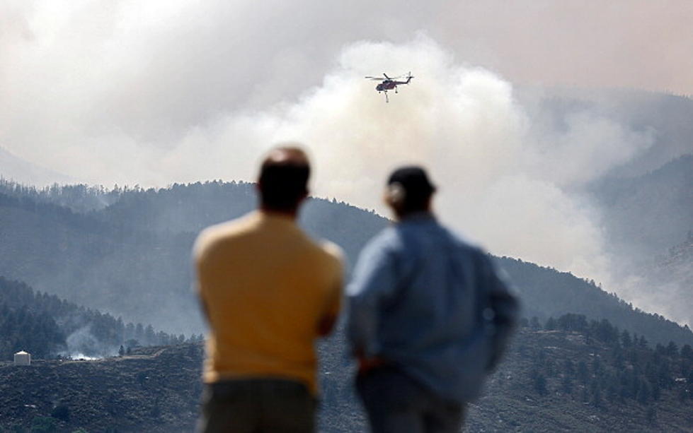
High Park Fire Update – 4:30pm New Evacuation Notices For Pingree Park Road
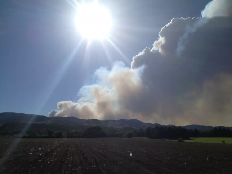
According to the latest updates from Inciweb, Colorado’s High Park Fire, west of Fort Collins, has now burned an estimated 43,433 and is still growing.
New evacuation orders have been sent to Pingree Park Road as well as the Hourglass and Comanche reservoirs.
New evacuation order is in place for Pingree Park Road, Hourglass and Comanche reservoirs, east on Buckhorn Road up to and including Pennock Pass, NE to junction with Stove Prairie and Hwy 14; West to junction with Highway 15 and Pingree Park Road. This evacuation includes Pingree Park Campus and Sky Ranch Lutheran Camp. (25 notification sent). Egress from this area is limited and residents are asked to leave now due to the extreme fire behavior on the west flank of the fire.
The good news is that there is some containment of the fire, 5% to be exact. And there are more firefighters and engines arriving to help this afternoon and give a break to some of the crews that have been working almost non-stop since Saturday.
Below are the evacuation orders still in place as of 4:30PM on 06-12-12 according to Inciweb:
- Pre-evacuation alerts have been sent to Glacier View residents but no evacuation orders have been issued.
- North of County Road 38E, from Horsetooth Reservoir to Redstone Canyon to Lory State park.
- Bonner Peaks subdivision.
- County Road 44H (Buckhorn Road) from County Road 27 to Pennock Pass and residents to the south approximately 3/4-1 mile.
- CR27E to Bellvue.
- Areas south and west of Bellvue to include the Lory State Park area, the Redstone Canyon area and Buckhorn Road up to the Stove Prairie School.
- Poudre Canyon from MM111 to MM118 on Highway 14. This means Poudre Canyon from Stove Prairie to MM118 is under mandatory evacuations. RESIDENTS OF POUDRE CANYON WHO HAVE NOT YET LEFT ARE ASKED TO LEAVE NOW.
- The area between CR27E and Stove Prairie Road and south through the entire Rist Canyon area including Davis Ranch Road, Whale Rock Road.
- South on CR44H 3 miles to just north of Stringtown Gulch Road Paradise Park Road, Moose Horn Lane, Magic Lane and Spencer Mountain Road.
- Old Flowers Road from Stove Prairie Road to the 8000-block of Old Flowers Road.
- Stove Prairie Road north along County Road 27 to Highway 14, east along Highway 14 to approximately mile marker 111, southeast to Rist Canyon Fire Station 1, then back west to to include Wilderness Ridge Way, Rist Creek Road, Spring Valley Road and County Road 41 and all of the roads that run off of it.
- Hewlitt Gulch, King’s Canyon area and Boyd Gulch Road.
[Inciweb]
More From K99